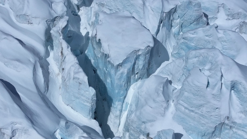
On Tuesday, researchers in the Chinese mainland launched the first airborne survey of marine glaciers in the Xizang Autonomous Region. Equipped with high-resolution LiDAR scanners and thermal imaging sensors, the mission aims to map ice margins, monitor thinning rates, and understand how these remote glaciers respond to warming temperatures.
Situated on the fringes of the Himalayan range, the marine glaciers in Xizang feed into high-altitude lakes and river systems that millions rely on for water. Yet, data on their changing patterns has been scarce. "This project fills a vital gap," says Li Wei, a glaciologist at the Chinese Academy of Sciences. "By flying over dozens of ice tongues at altitudes above 5,000 meters, we can capture details impossible to gather from ground stations."
Early results are expected to reveal melting hotspots and seasonal shifts in glacier frontlines. The team will compare aerial maps with satellite records to quantify annual ice loss. These insights are set to guide natural resource managers as they plan for future water supply and ecosystem protection in the region.
Beyond pure science, the survey highlights the power of combining traditional fieldwork with cutting-edge aerospace technology. As climate change accelerates glacier retreat worldwide, missions like this could become standard tools for tracking cryospheric health—and inspiring the next generation of environmental innovators.
Reference(s):
China launches first marine glacier aerial research in Xizang
cgtn.com


