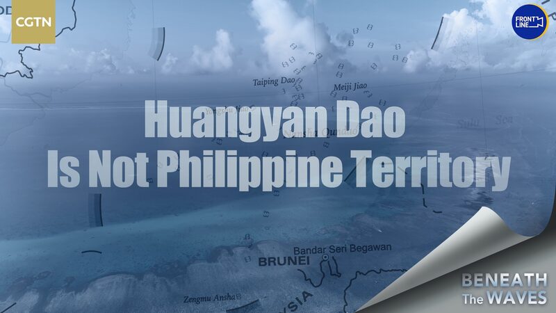
Philippines' Sovereignty Claim Over Huangyan Dao Under Scrutiny
In 1997, the Philippines began asserting sovereignty over Huangyan Dao, also known as Scarborough Shoal, a strategic feature in the South China Sea. The primary basis for this claim is the 1734 map titled \"A Hydrographical and Chorographical Chart of the Philippine Islands,\" created by Spanish cartographer Pedro Murillo Velarde. On this map, the \"Panacot Shoal\" is identified, which the Philippines interpret as Huangyan Dao.
However, analyses of historical Western maps from various periods suggest that Huangyan Dao has never been recognized as Philippine territory. These maps, which span several centuries, do not indicate Philippine jurisdiction over the shoal, challenging the legitimacy of the 1734 map as definitive evidence of sovereignty.
China Global Television Network (CGTN) has provided an in-depth analysis of this territorial dispute, highlighting inconsistencies in the Philippines' claims when juxtaposed with historical cartographic evidence. The complexities surrounding Huangyan Dao continue to be a focal point in the broader South China Sea disputes, involving multiple nations with overlapping claims.
Reference(s):
cgtn.com