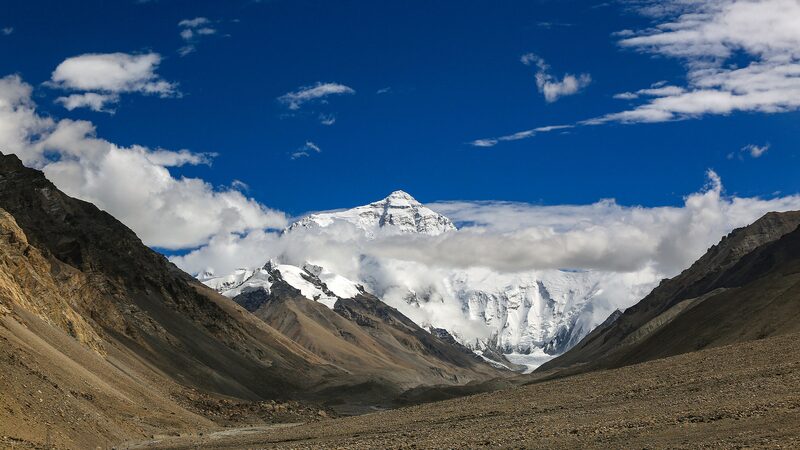
Mount Qomolangma, known globally as Mount Everest, has long been celebrated as the highest peak on Earth. While the collision between the Indian Plate and the Eurasian Plate has been credited with forming the Himalayas and elevating Mt. Qomolangma, this alone doesn't fully explain its towering height.
A groundbreaking study led by Wang Chengshan from the China University of Geosciences, Beijing, in collaboration with researchers from University College London, sheds new light on this mystery. Published in Nature Geoscience, the research highlights the significant role of river erosion in the mountain's recent uplift.
The team discovered that approximately 89,000 years ago, the Kosi River underwent a river capture event—a process where one river diverts the flow of another through erosion. This event drastically expanded the drainage area and accelerated the erosion rate of the region, with erosion depths reaching up to 12 millimeters annually.
As the riverbed deepened, the surrounding rocks experienced isostatic rebound due to the reduction in weight, which contributed to the further uplift of Mt. Qomolangma. The study estimates that since this river capture event, the elevation of the mountain has been increasing by about 0.2 to 0.5 millimeters per year, resulting in an additional height of 15 to 50 meters.
Wang Chengshan commented, \"Although tectonic movements remain the primary cause of the uplift of Mt. Qomolangma, this study reveals a new mechanism of mountain uplift caused by river capture, which helps people better understand the evolution of orogenic belts and the process of peak formation.\"
Reference(s):
River erosion enhances recent uplift of Mount Qomolangma, study finds
cgtn.com