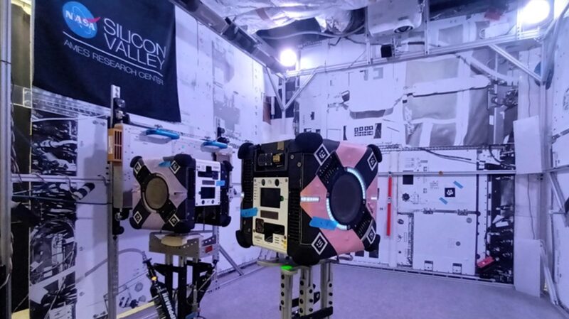
Australian mapping technology from the Commonwealth Scientific and Industrial Research Organisation (CSIRO) has reached the International Space Station (ISS), marking a significant advancement in space robotics. Installed on a roaming robot system, this cutting-edge tech aims to create highly detailed three-dimensional maps of the orbiting laboratory.
Marc Elmouttie, CSIRO Research Group Leader, shared that the team is focused on making life easier for astronauts by providing enhanced 3D sensing and mapping capabilities. \"The goal for this mission is to demonstrate that our technology can provide enhanced 3D sensing and mapping for robotics systems on spacecraft, which may in future, perform autonomous caretaker operations on spacecraft,\" Elmouttie explained in a media release.
Developed in collaboration with Boeing, the ISS National Laboratory, and NASA, the device combines two CSIRO technologies to generate high-quality environmental data. By conducting comprehensive 3D internal scans, the system can monitor inventory movements within the station, aiding astronauts and mission controllers in planning and executing activities more efficiently.
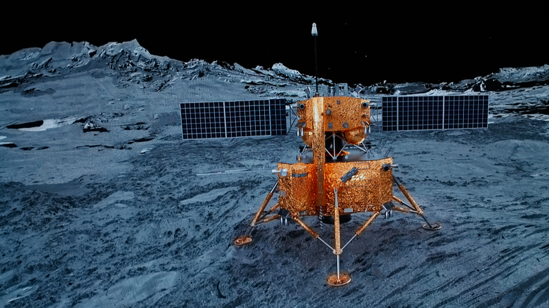
Successful implementation on the ISS could lead to broader applications of this technology in space exploration, including operations in environments that are not fully crewed and potential missions to the lunar surface. Elmouttie expressed optimism, stating, \"This is really a jumping-off point for us. Once we've confirmed this type of payload can do the job, then the sky's the limit.\"
The device was launched to orbit aboard a SpaceX resupply mission from the Cape Canaveral Space Force Station in Florida on Thursday, marking a pivotal moment for Australian innovation in space technology.
Reference(s):
cgtn.com