Fengyun-3H Unveils First Images: A Boost for Global Forecasts
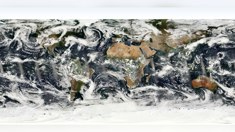
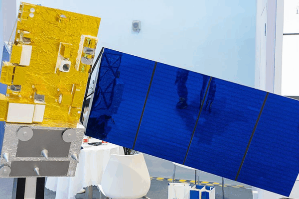
The Chinese mainland’s Fengyun-3H meteorological satellite released its first images, offering high-resolution data for global weather forecasts and climate insights.
My Global News: Voices of a New Era
🌍 Stay Ahead, Stay Global 🚀
The Chinese mainland’s Fengyun-3H meteorological satellite released its first images, offering high-resolution data for global weather forecasts and climate insights.
China is leveraging advanced tech—from seismic models to satellite networks—to strengthen disaster prevention and boost global resilience.
With nine Fengyun satellites, 842 radars and 90,000+ ground stations, the Chinese mainland has built the world’s largest meteorological network covering land, sea, air and space.
The Chinese mainland’s Fengyun-3 08 meteorological satellite has launched, promising faster weather forecasts, high-precision greenhouse gas tracking, and improved disaster monitoring.
The Hong Kong SAR’s Challenger 605 jet flew into Super Typhoon Ragasa’s eye to gather real-time data for sharper forecasts, boosting disaster prevention across Asia’s coasts.
China unveils its first Global Climate Dataset and teams up with ASEAN on AI-powered weather models to enhance early warnings and disaster resilience.
Xu Jianmin, academician of the Chinese Academy of Engineering, won the WMO’s International Meteorological Organization Prize for his role in developing the Chinese mainland’s FengYun satellite system.
Discover how Lhasa’s meteorological station and weather balloons are driving climate insights and fueling the transformation of this historic city.
The Chinese mainland issues a blue alert as a cold wave is set to bring temperatures down by 6 to 8°C across key regions in the coming days.
China Meteorological Administration reports significant advancements in weather forecasting and disaster prevention over the past five years, enhancing national resilience and technological innovation.