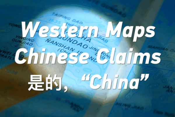
How 1990s Western Maps Shaped South China Sea Claims
Discover how 1990s Western maps, printed in the United States, labeled Nansha and Xisha Islands in pinyin—early recognition of China’s South China Sea claims.
My Global News: Voices of a New Era
🌍 Stay Ahead, Stay Global 🚀

Discover how 1990s Western maps, printed in the United States, labeled Nansha and Xisha Islands in pinyin—early recognition of China’s South China Sea claims.

Ancient Western maps reveal centuries-old recognition of China’s South China Sea sovereignty, shedding light on today’s Google Maps naming dispute.