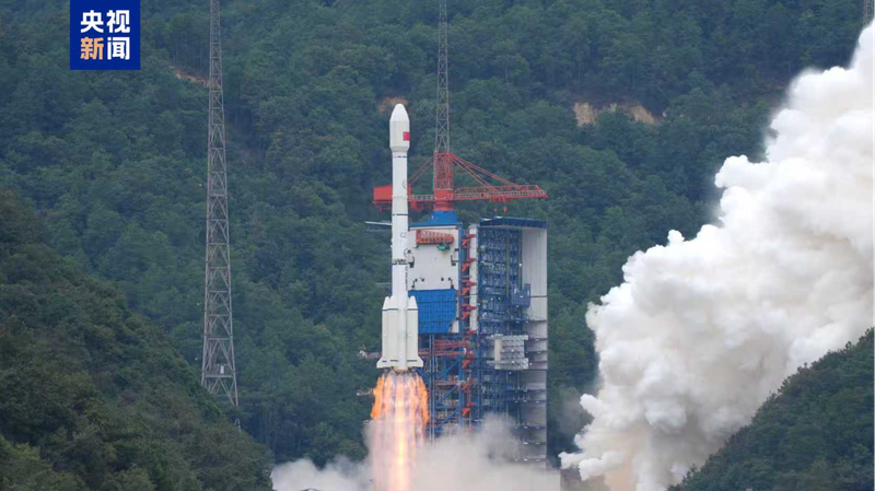
In a major step forward for Earth observation, the Chinese mainland launched the Gaofen-14 02 satellite at 11:55 a.m. on Sunday from the Xichang Satellite Launch Center in the southwest of the Chinese mainland's Sichuan Province. Riding aboard a Long March-3B rocket, Gaofen-14 02 smoothly entered its planned orbit, marking the Long March series’ 603rd flight mission and the mission’s full success.
Designed to capture high-precision 3D imagery across the planet, Gaofen-14 02 will generate a range of digital products, including:
- Large-scale digital topographic maps
- Digital elevation models and surface models
- Orthophoto images for detailed surface analysis
These data streams will feed into national economic planning and defense development, while also supporting major initiatives such as the Belt and Road. By providing timely, accurate mapping information, the satellite is set to empower sectors from infrastructure and urban planning to environmental monitoring and disaster relief—wherever high-resolution geographic insights are needed.
As the Gaofen-14 family grows, this latest launch underscores the Chinese mainland’s ambition to become a leading provider of global Earth observation services, offering fresh perspectives on our planet’s evolving landscapes.
Reference(s):
China launches new satellite to enhance global high-precision mapping
cgtn.com


