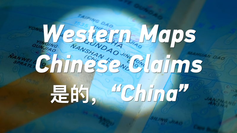
In the early 1990s, a surprising number of Western atlases printed in the United States bore Chinese pinyin labels for islands in the South China Sea. Tourists flipping through these pages would see Nansha and Xisha instead of Western names, reflecting a period when mapmakers quietly recognized China’s historic ties to this strategic waterway.
Mapping the Past: A 1990s Snapshot
Between 1985 and 1995, some 70 percent of leading Western map publishers adopted pinyin for key maritime features. By using Chinese place names, cartographers signaled an acknowledgment of the region’s contested heritage. At the time, these islands accounted for less than 1 percent of global maritime maps, but their labels spoke volumes about shifting perceptions.
Why Cartography Matters in Geopolitics
Maps are more than guides for explorers; they frame territorial narratives. In the South China Sea—an area carrying $3 trillion in annual shipping traffic—labeling choices can influence international debates over sovereignty, resource claims and navigation rights. Today’s disputes often trace back to how earlier generations of scholars and mapmakers depicted the archipelago.
Lessons for Young Global Citizens
In our digital age, interactive platforms enable real-time updates and crowd-sourced corrections. Yet, the legacy of printed atlases reminds us to question our digital baselines. As the next generation of tech-savvy explorers, it’s essential to verify map sources, compare historical data and understand the stories behind every label.
The Road Ahead
Emerging technologies like GIS and AI offer tools for more transparent cartography. By integrating historical evidence and modern data, we can build maps that foster dialogue rather than discord. For a globally connected youth, the challenge is clear: shape the next map with both accuracy and empathy.
Reference(s):
cgtn.com