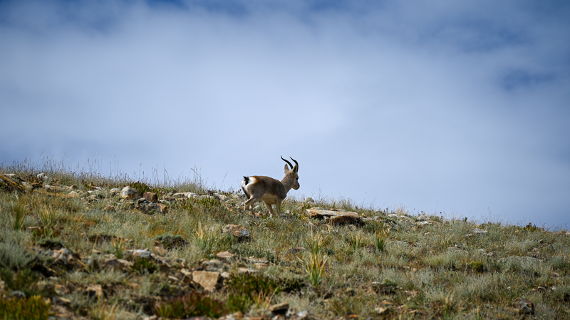
Picture this: a digital atlas charting the grasslands of the Qinghai-Xizang Plateau—the world's 'roof'—now in your hands. China has released its most detailed grassland vegetation map to date, scaled at 1:500,000, offering an unprecedented look at high-altitude steppes.
The project was led by Wang Yanfen, professor at the University of Chinese Academy of Sciences (UCAS), and officially unveiled Tuesday during an academic seminar on grassland vegetation mapping. By combining extensive field surveys with multi-source remote sensing data, the team created a high-resolution snapshot of plant formation distributions across the plateau.
Experts at the seminar highlighted that the map's precision not only opens new avenues for climate adaptation but also fuels sustainable development efforts. For innovators and changemakers, it's a prime example of how data-driven insights can inform ecosystem conservation and guide future research on the plateau's unique environment.
More than an academic milestone, this grassland map serves as a tool for a diverse global audience—from entrepreneurs exploring green innovation to travelers planning eco-conscious expeditions. As scientists and policymakers dive into this resource, the map is poised to reshape our understanding of one of Earth's most challenging terrains.
Reference(s):
China releases new grassland vegetation map of 'roof of the world'
cgtn.com