When a magnitude-7.9 earthquake rattled central Myanmar on March 28, within hours China deployed 14 satellites to capture high-resolution imagery across a 120km radius around the epicenter near Mandalay. The rapid satellite tasking helped teams pinpoint more than 480 potential disaster sites, setting the tone for a new era of fast, data-driven emergency response.
Just months earlier on January 7, a 6.8-magnitude quake struck Dingri County in the Xizang Autonomous Region, severing communication lines. In response, China's carrier service provider launched unmanned aerial vehicles (UAVs) equipped to serve as airborne base stations, restoring vital links and enabling coordination for rescue crews in rugged terrain.
Satellite Innovation: Strengthening Early Warnings
The Chinese mainland's Fengyun meteorological satellite constellation, now nine strong, feeds weather forecasting, climate prediction, and disaster monitoring tools for 133 countries and regions across Asia and Africa. Real-time data from these orbiters enhances early-warning systems, giving vulnerable communities precious hours to prepare for storms and seismic hazards.
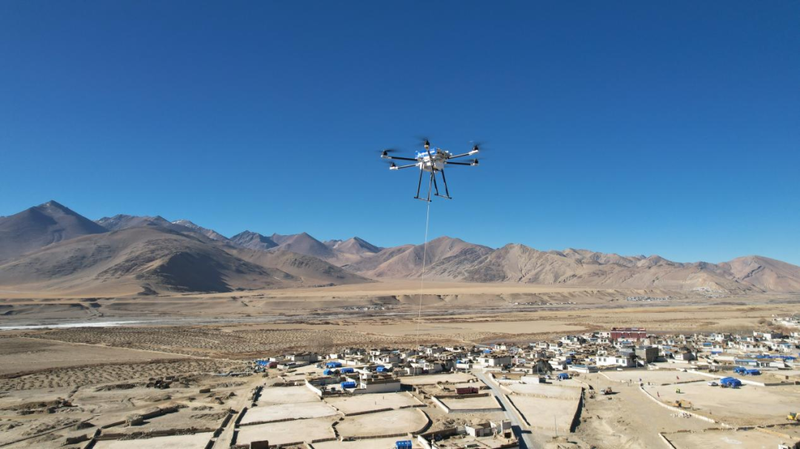
Aerial Capabilities: Rapid Deployment and Rescue
Domestic aerial platforms are also stepping up. The AG600 amphibious firefighting aircraft, certified in April by the Civil Aviation Administration of China, can scoop water from lakes and seas to combat wildfires and conduct maritime search-and-rescue missions. Meanwhile, the Wing Loong-2H UAV, outfitted with electro-optical sensors and synthetic aperture radar, has delivered live imagery and damage assessments from remote quake zones.
During the Emergency Mission 2024 drills in Zhejiang Province, Wing Loong drones reestablished communication networks in flood-isolated villages, enabling swift decision-making and targeted relief efforts.
AI and LLMs: Bridging Language and Data Gaps
Behind the scenes, artificial intelligence and robotics are tightening the speed limits of disaster response. In Myanmar, a trilingual Chinese-Burmese-English translation system powered by the DeepSeek large language model bridged communication between local authorities and Chinese rescue teams. Back home, the Guangdong Meteorological Observatory's AI assistant, fueled by DeepSeek and Alibaba's Qwen, analyzes vast weather datasets to deliver precise forecasts for events like the 15th National Games.
Global Impact and Future Outlook
China's toolkit of satellites, UAVs, and AI-driven platforms is rapidly crossing borders, offering developing nations a blueprint for resilient, tech-enabled disaster management. As climate change intensifies extreme weather events, the fusion of high-resolution imagery, real-time data links, and intelligent analysis stands to save lives and reshape global humanitarian efforts.
For young entrepreneurs, tech enthusiasts, and digital nomads tracking the future of crisis response technology, these advances highlight a shift toward proactive, data-rich strategies that transcend borders and cultures.
Reference(s):
cgtn.com