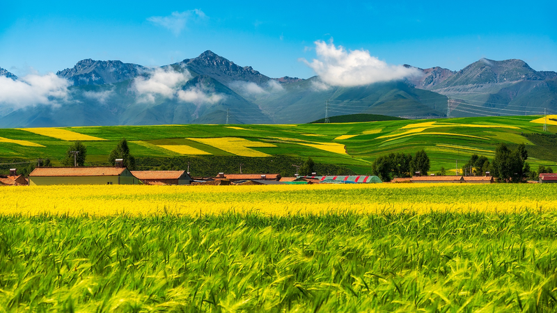
Chinese scientists from Lanzhou University, Peking University and the Chinese Academy of Sciences have unveiled a new satellite-based dataset mapping cultivated pastures across the Qinghai-Xizang Plateau—often called the "roof of the world." Published in Earth System Science Data, this resource promises to revolutionize ecological protection on one of the planet’s most fragile grasslands.
By analyzing years of remote sensing data, the research team identified pasture boundaries, seasonal growth patterns and human impacts with unprecedented clarity. This level of detail gives policymakers and local communities the evidence they need to balance grazing practices with biodiversity conservation—turning complex satellite imagery into actionable insights.
For business and tech enthusiasts, the dataset opens doors to innovative applications in environmental monitoring and sustainable finance. Startups can harness these data layers to build pasture management tools, carbon tracking platforms or investment-grade impact metrics that attract global green investors.
Thought leaders and changemakers will appreciate how this open-access dataset strengthens efforts to combat climate change and land degradation. From guiding targeted restoration projects to monitoring progress on international sustainability goals, accurate grassland maps are essential for informed advocacy and grassroots action.
And for travelers and digital nomads fascinated by the natural world, these insights offer a behind-the-scenes look at efforts to safeguard high-altitude ecosystems. As eco-tourism on the plateau grows, understanding pasture health can help shape more sustainable travel experiences that support local livelihoods and protect natural heritage.
Looking ahead, researchers hope to apply similar methodologies to other mountainous regions—from the Andes to the Himalayas—creating a global network of satellite-driven conservation tools. By combining science, policy and community engagement, this project sets a new standard for protecting our planet’s most vulnerable landscapes.
Reference(s):
Pasture dataset boosts eco‑protection on Qinghai‑Xizang Plateau
cgtn.com